Scientists uncover evidence of large earthquakes under central NZ
Scientists have discovered evidence that two very large earthquakes occurred under Wellington, New Zealand in the past 1,000 years. Whilst current seismic hazard models have taken these types of earthquakes into account, this is the first time direct geological evidence of a “subduction earthquake” has been found, and it suggests they may be more frequent that previously thought. Paul Somerville of Risk Frontiers discusses the latest findings.
Seismic potential of the Hikurangi subduction zone

The Hikurangi subduction zone, which lies off the east coast of the North Island of New Zealand (Figure 1), is one of the few circum-Pacific subduction zones that has not had a great (Magnitude >8) subduction interface earthquake in historical time (since 1840), and it has a less complete record of prehistorical subduction earthquakes than many other subduction zones around the Pacific Ocean. There is evidence for the prehistorical occurrence of large subduction earthquakes on the central Hikurangi subduction zone, but until now there has been no evidence for prehistorical subduction earthquakes on the northern or southern Hikurangi subduction zones.
Latest evidence
 The southern Hikurangi subduction zone, which underlies Wellington, has had no significant (Magnitude >6:5) documented subduction earthquakes in historical time. The assumption, used by GNS Science in generating the seismic hazard map of New Zealand, that it has the potential to generate large earthquakes, has been based on seismological and geodetic evidence rather than direct geological evidence. Now, in a paper published in the Bulletin of the Seismological Society in May 2015, Kate Clark and others report the first geologic evidence to confirm that the southern Hikurangi subduction zone generates large earthquakes.
Method
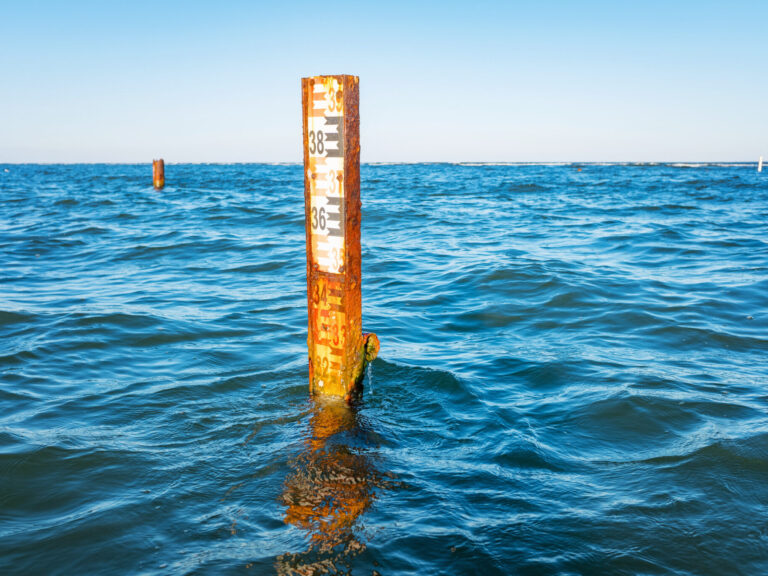
Kate Clark and her colleagues used sediment cores extracted from Big Lagoon (Figure 2), a large coastal lake east of Blenheim, to find evidence for two earthquakes producing coseismic subsidence and (in one case) a tsunami during the past 1000 yrs. The earthquake 520–470 years ago produced about 25 cm of subsidence at Big Lagoon. The earthquake 880–800 years ago produced about 45 cm of subsidence at Big Lagoon and was accompanied by a tsunami that inundated ≥360 m inland with a probable height of ≥3:3 m.

Implications
The most likely cause of the subsidence and tsunami events is subduction interface rupture, although the older event may have occurred in conjunction with a crustal fault (such as the Wairarapa fault) in the upper plate. The relatively short-time interval between the two subduction earthquakes (about 350 yrs) is shorter than the recurrence interval of about 1,000 years that has been used in current seismic hazard models, suggesting the possibility that large Hikurangi subduction earthquakes are more frequent than had been thought.
Clark, Kate J.,Bruce W. Hayward, Ursula A. Cochran, Laura M. Wallace, William L. Power, and Ashwaq T. Sabaa (2015). Evidence for Past Subduction Earthquakes at a Plate Boundary with Widespread Upper Plate Faulting: Southern Hikurangi Margin, New Zealand. Bulletin of the Seismological Society of America, Vol. 105, No. 3, May 2015.
http://www.gns.cri.nz/Home/News-and-Events/Media-Releases/subduction-quakes
CPD: Actuaries Institute Members can claim two CPD points for every hour of reading articles on Actuaries Digital.